


UPRNs in buildings’ analysis – addressing climate change
Buildings are responsible for 40% of the European Union’s energy consumption and 36% of its greenhouse gas emissions. To reduce the impact of climate change as ...
We use cookies to optimise site functionality and give you the best possible experience.
Buildings are responsible for 40% of the European Union’s energy consumption and 36% of its greenhouse gas emissions. To reduce the impact of climate change as ...
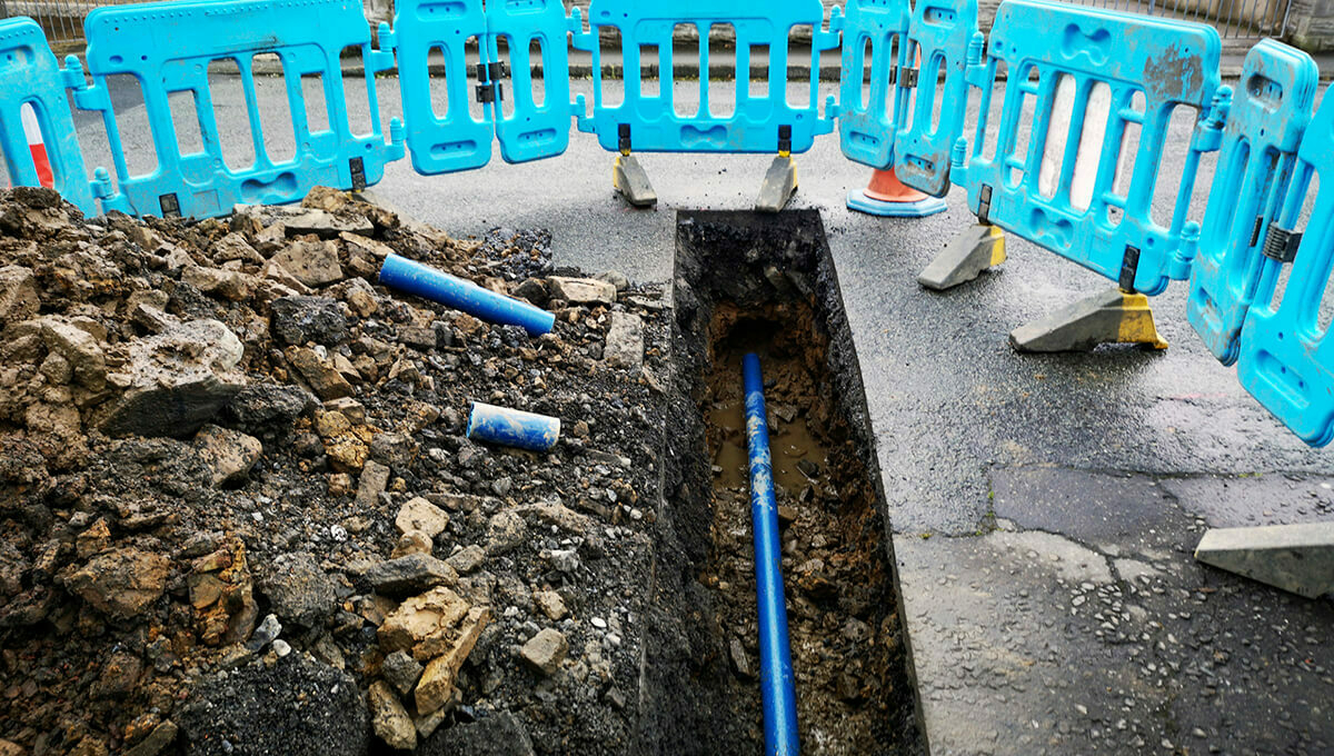
Part 2: Marisa Hayes investigates the National Underground Asset Register and highlights some of the potential benefits of the platform.

Marisa Hayes investigates the National Underground Asset Register and highlights some of the potential benefits of the platform.

Local government has been utilising Unique Property Reference Numbers (UPRNs) for many years. But what if the public could also benefit from this and become fam...


Data is the heart of your organisation. What are the key guidelines to help realise the potential of data using the UPRN and USRN as the golden threads?